

AccuWeather

ACCUWEATHER FORECAST

First heat wave of the summer moves into SoCal this week
Temperatures will rise to the 90s and triple-digits for many areas when the heat wave peaks on Wednesday and Thursday.
Temperatures will rise to the 90s and triple-digits for many areas when the heat wave peaks on Wednesday and Thursday.MORE
Weather Maps
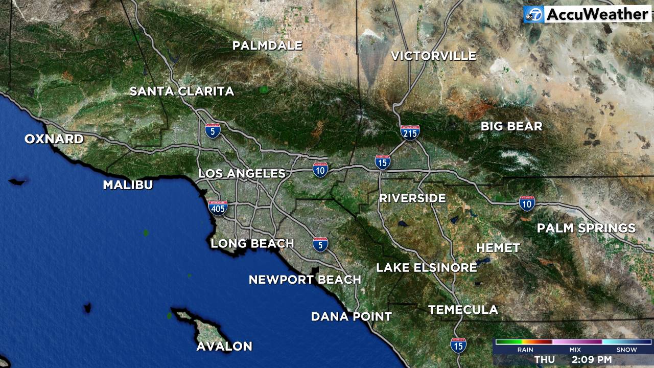
Southland Overview
Weather News
Travel Planner
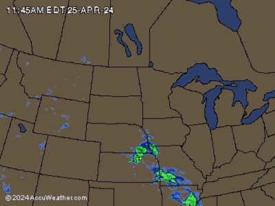
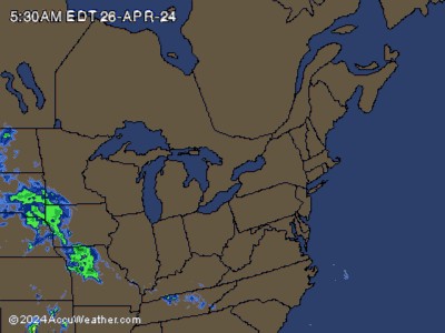
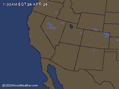
National Radar
- Air Quality Alert
* WHAT...The South Coast AQMD has issued an air quality alert due to harmful levels of ozone pollution. * WHERE...in the . Levels of ozone pollution can vary by time and location depending on emissions and air pollution transport. * WHEN...Monday 2:30 PM until Thursday 8:00 PM. The highest ozone levels typically occur in the afternoon and early-evening hours. * IMPACTS... Ozone air pollution can cause serious health problems, including trouble breathing, asthma attacks, and lung damage. Everyone can be affected, but sensitive groups such as people with lung disease, older adults, people who are pregnant, children, and those who spend a lot of time outdoors are at greater risk.More
Follow Us


Prepare SoCal: Disaster Readiness
Live Web Cams
Weather Team


